

Geographic Information Systems (GIS)
High-Tech Mapping and Data Solutions for Your Next Project
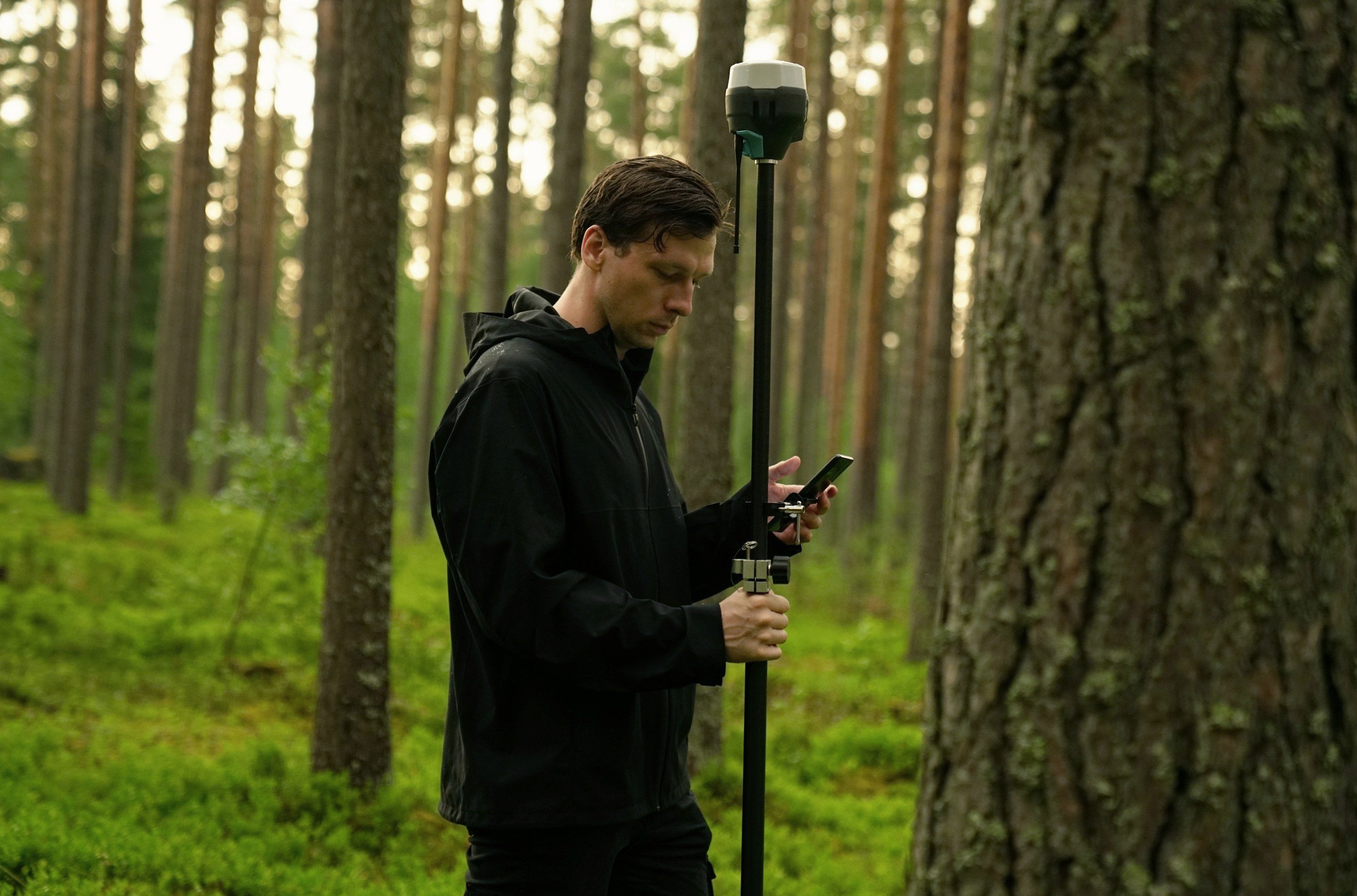
We provide expert GIS capability to provide insight and data management solutions for your next project.
Whether its mapping and surveying ground cover for a homesite, or large-scale forest health and hazard analyses.
Natural resource remote sensing & data analysis
UAS derived terrain mapping and modelling
GIS Mapping solutions with ESRI ArcGIS ®


We produce high quality web-based maps for you and your team hosted online for practical mapping solutions that can be monitored and updated in real time.
ESRI ArcOnline ® web map development
Public facing map development & cartography