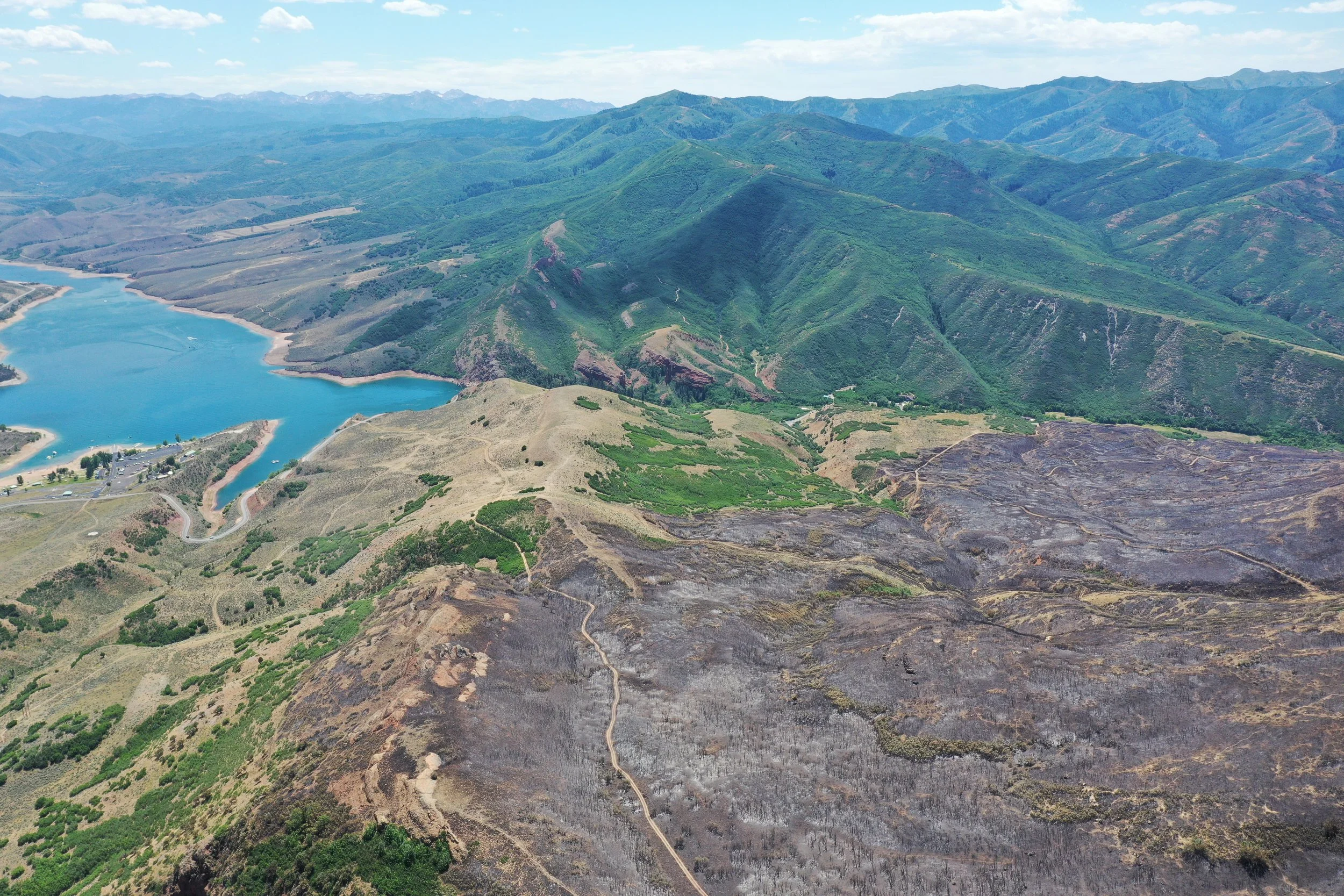
Aerial Mapping & Imagery
In-depth Mapping Strategies
We generate and deliver high-resolution UAS aerial and mapping imagery to assist with the planning phase of your home or community defense and land management strategies.
Forest structure and hazardous fuels analysis
Landscape aerial imaging & modeling
Geo-referenced orthomosaic maps
Project boundary marking